
By Plane
- Istanbul Airport
- Sabiha Gökçen
The closest airport is Istanbul Airport, followed by Sabiha Gökçen. From either airport you can use the rail network to connect to the Metro or Marmaray line and reach us.
The closest airport is Istanbul Airport, followed by Sabiha Gökçen. From either airport you can use the rail network to connect to the Metro or Marmaray line and reach us.
After getting off at the İncirli stop, cross to the Ömür Mall side of the road; the clinic is a 14-minute walk. You can also reach it in 4 minutes by minibuses passing through Haznedar.
Walking directions from İncirli Metrobus→After getting off at Bakırköy station, you can reach us in 10 minutes by minibus line 3 passing through Haznedar, or by IETT buses (98 or 76Y).
It is a 19-minute walk after getting off at Bakırköy İncirli station on the M1A line. You can also reach it in 8 minutes by minibuses passing through Haznedar.
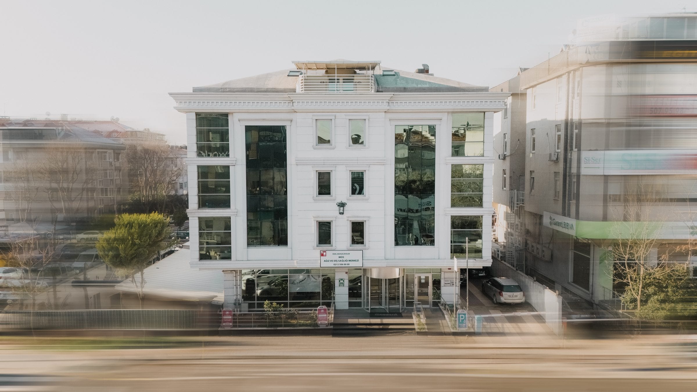
Walking directions from Bakırköy İncirli Metro→While driving on the D100 in the Edirne-Topkapı or Topkapı-Edirne direction, take the Bahçelievler exit at the İncirli junction; turn left at the end of the slope, which is also the end of İzzettin Çalışlar Street, and we are on the other side of the road. If you are coming from Bağcılar along the Bağcılar-Bakırköy road, we are on the right just after Haznedar Square.
Driving directions→We hold direct agreements with 48 organisations. Insurers, pension funds, public institutions and companies. Just bring your card with you.